Explore Brisbane’s top running routes—from riverside paths to nature trails. Lace up and hit the track—there’s something for every runner!
Ready for a change of scenery? Whether you’re a beginner, a regular runner, or training for your first race, Brisbane has a running route to suit every fitness level. From short riverside jogs and scenic running trails to challenging 10-kilometre-plus tracks, there are plenty of places to run in Brisbane. Whether you’re chasing a personal best or simply enjoying the scenery, lace up your trainers and hit one of Brisbane’s best running routes.
River runs
QUT to New Farm
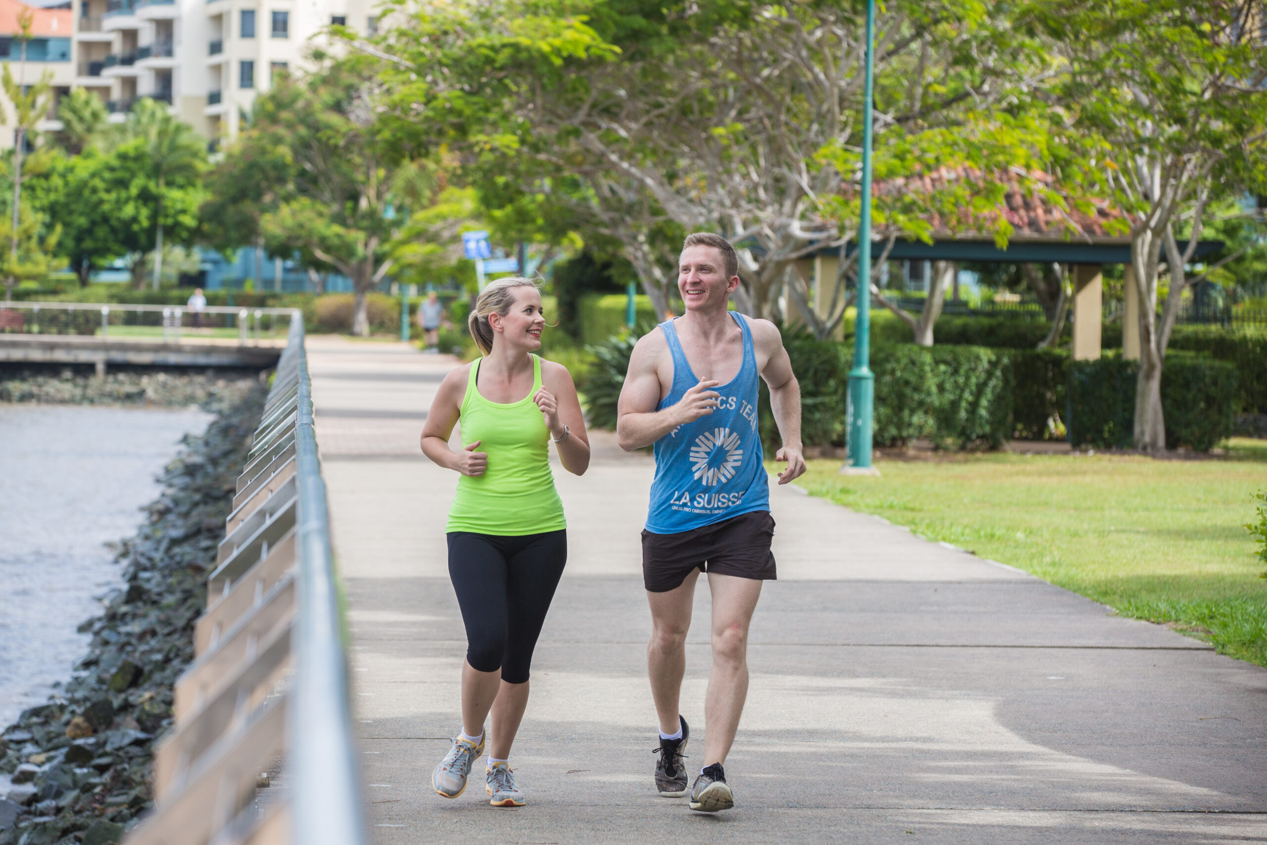
The 5-kilometre route from Queensland University of Technology (QUT) to New Farm is one of Brisbane’s favourite routes. It has stunning views of the Brisbane River, City Botanic Gardens and Howard Smith Wharves. An upgraded section of the Brisbane Riverwalk is now open at Eagle Street. It connects Howard Smith Wharves and the Kangaroo Point Bridge.
For the return trip, run 10 kilometres or take a CityCat to enjoy a different city view.
Distance: 5 kilometres
Add-on: 4 kilometres from New Farm Park to Newstead, or a one-kilometre lap of New Farm Park
Terrain: Paved, flat
Start point: Run from QUT Gardens Point Campus
Transport options: QUT or New Farm ferry terminals
Epic views
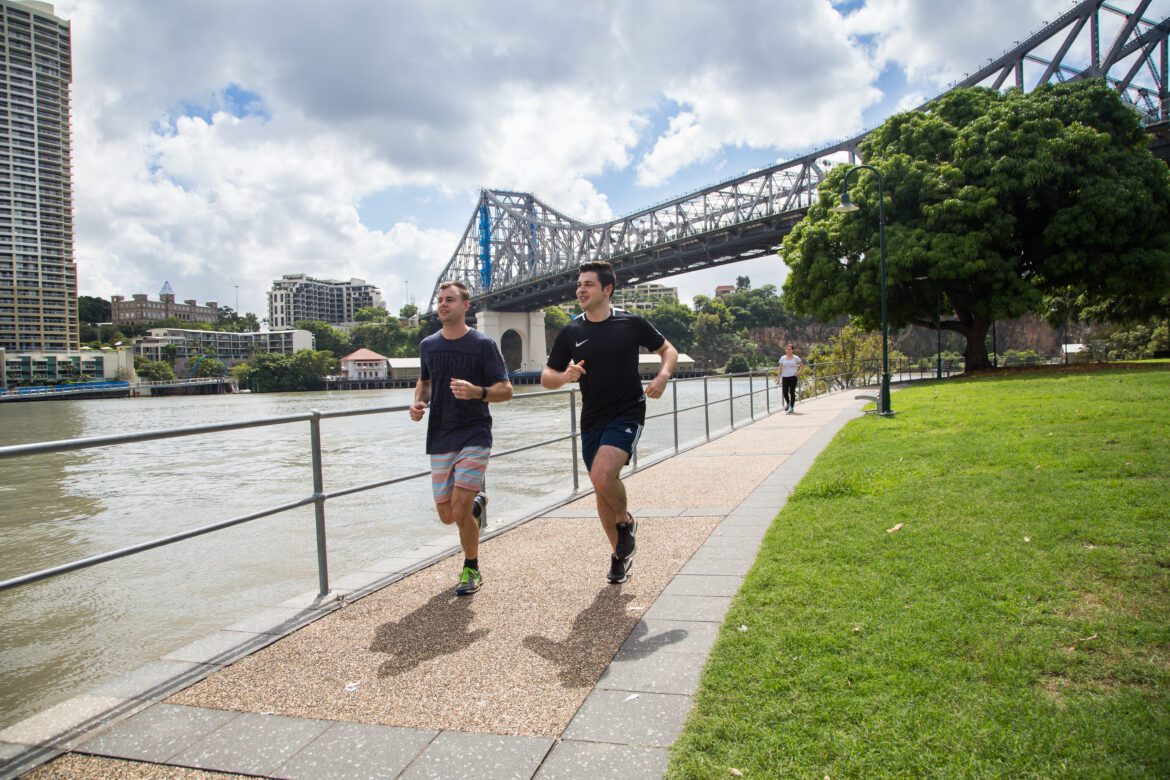
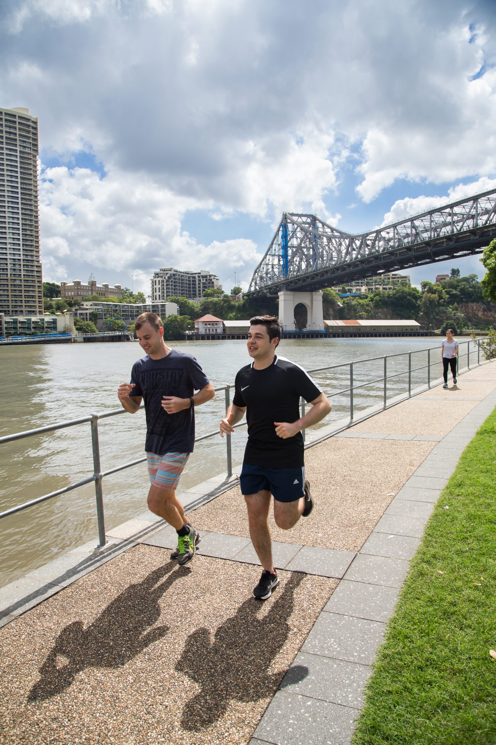
Kangaroo Point Cliffs has epic skyline views to keep you motivated. Run down to the iconic Story Bridge and return along the riverfront.
Want an extra challenge? Sprint the cliff steps – all 107 of them! From the stairs, it’s 1.8 kilometres to Captain Burke Park.
Distance: About 4 kilometres of waterfront running on Kangaroo Point (not including stair climb)
Add-on: Kangaroo Point to South Bank Cultural Forecourt is 2.1 kilometres
Terrain: Flat (except for optional stair climb)
Start point: CBD or South Bank, Holman Street ferry terminal
Transport options: Bus options and Holman Street ferry terminal nearby
City Loop
Get amongst the hustle and bustle of the city on this scenic river loop. Starting at South Bank near the iconic Brisbane sign, follow the river towards Kangaroo Point and continue on to the Story Bridge. Cross back to the city via the riverfront pathways and enjoy the views along the City Reach Boardwalk before making your way through the City Botanic Gardens.
From there, join the Bicentennial Bikeway and follow it back towards South Bank, crossing the Victoria Bridge to complete the loop.
Distance: 9 kilometres
Terrain: Flat, paved
Start point: South Bank Brisbane Sign
Transport options: Train, bus, CityCat and nearby parking

Teneriffe to New Farm
Take a run on the iconic Teneriffe Riverwalk. Start at the Commercial Road ferry terminal. Follow it all the way to New Farm, and beyond.
If you’re setting out on a Saturday morning, consider a pit stop at the Powerhouse Jan Power Farmers Markets. Refuel, then keep going towards the city. Or turn back the way you came.
Terrain: Flat
Transport options: CityCat, bus, or street parking around Teneriffe
Triple park run
If you enjoy running with leafy surroundings and waterfront views, explore the 3-park river stretch on the southside. This scenic route includes Orleigh Park, West End Riverside Lands Park, and Davies Park at West End. You’ll also find free outdoor gyms along the run to help switch up your movement.
Distance: 5 kilometres
Terrain: Paved, mostly flat
Start point: Orleigh Park, West End
Transport options: West End ferry terminal, Blue CityGlider, or car with parking at Davies Park and Orleigh Park
Go off road
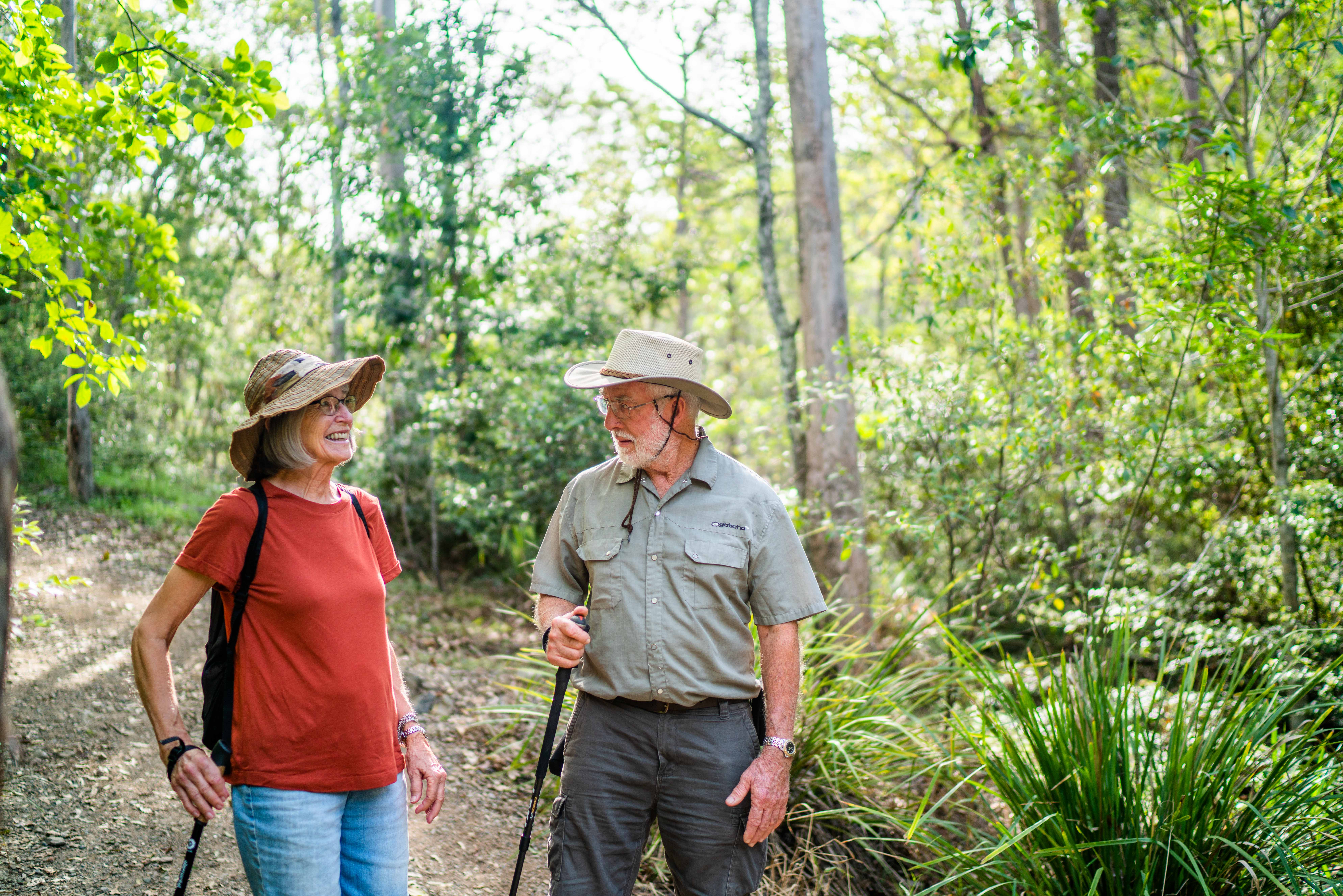
Visit Mt Coot-tha Reserve, just a short 30-minute drive from the city. Explore the expansive network of over 70 nature tracks and trails,which are perfect for trail running.
Embark on the 1.9 kilometre Summit Track leading to the iconic Mt Coot-tha Lookout and back. Relax, stretch, or refuel at the café while enjoying stunning views of Brisbane and Moreton Bay.
Distance: Many options – Summit Track is 1.9 kilometres, Honeyeater Track is 2.1 kilometres
Terrain: Depends on the trail
Start point: J. C. Slaughter Falls picnic area is one of the main starting points – see track map for details
Transport options: Car or public transport
Tip
If you live on Brisbane’s southside and want a new trail run, try Mount Gravatt Lookout’s 1.2 kilometre Summit Track. Walk, jog or run your way to a personal best.
Enoggera, easy as!
New to running or want to ease into it?
The Enoggera Creek Bikeway is a hassle-free run that follows the creek through a series of parks. Starting at The Gap, this 13-kilometre signposted path weaves through Brisbane’s northside suburbs of Windsor, Wilston, and Newmarket.
From Newmarket, it is about 2 kilometres to Bancroft Park, Kelvin Grove and 4 kilometres to Downey Park, Windsor. Running from Bishop Street Park in Kelvin Grove will step you through a 5-kilometre track.
Distance: 2-13 kilometres (one way)
Terrain: Mostly flat, paved
Start point: Anywhere along the path
Transport options: Train and bus
Bayside beauty
If you’re looking to switch up your exercise routine, consider heading to the stunning Sandgate Foreshore promenade. This picturesque, waterfront path stretches from Shorncliffe to the Ted Smout Memorial Bridge in Brighton.
For a bay run on the southside, try the 5-kilometre return Wynnum Manly Foreshore run through Bayside Park.
Distance: Sandgate Foreshore – 6.5 kilometres, Wynnum Manly Foreshore – 5 kilometres return
Terrain: Paved, flat
Start point: Moora Park in Shorncliffe or Bayside Park in Manly
Transport options: Car is best for both, or train to Shorncliffe station or Manly station
White line fever
The Kedron Brook Bikeway is one of Brisbane’s most popular running routes, offering a flat, paved path that winds through multiple northside suburbs. Spanning approximately 23 kilometres, it provides plenty of options for runners of all fitness levels, whether you’re looking for a short jog or a long-distance training run.
A favourite among families and fitness enthusiasts alike, the bikeway features wide shared paths suitable for runners, walkers and cyclists. If you’re running with the kids, they can ride ahead on their bikes while you enjoy the scenic surroundings of parklands, creek views and open green spaces.
Distance: 23 kilometres including the Jim Soorley Bikeway, between Doorey Street at Keperra and Nudgee Road, Nudgee
Terrain: Flat, paved with some sections on road and some separated bike and pedestrian paths
Start point: Anywhere along the path
Transport options: Train station in Toombul or car
Forest-bathing runs
Feel the calm of the natural forest and wetlands around you as you pound the pavement of Boondall Wetlands. Pace yourself past woodlands, mangroves and paperbark trees starting at the Brisbane Entertainment Centre to Nudgee Beach. Be mindful on the shared path with cyclists also making their way through the track.
Terrain: Flat, paved shared pathway
Transport options: Park at the Boondall Entertainment Centre or Boondall Wetlands Environment Centre. Train to Boondall.
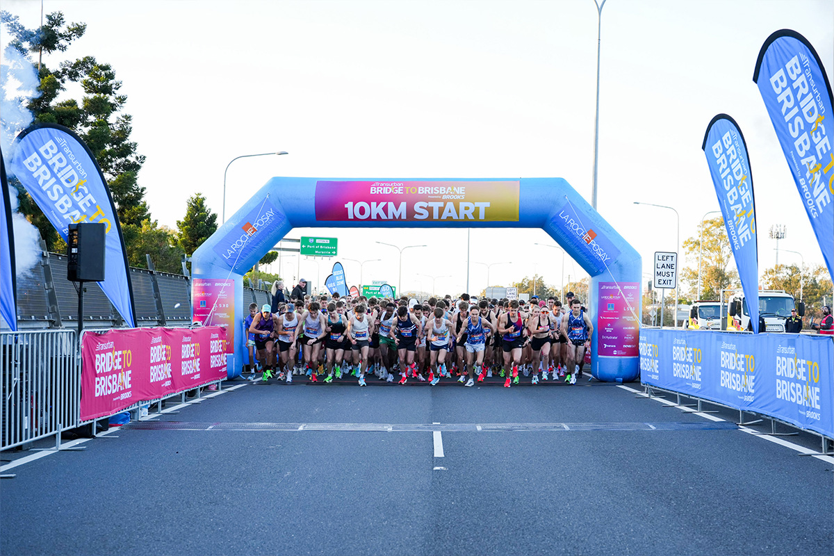
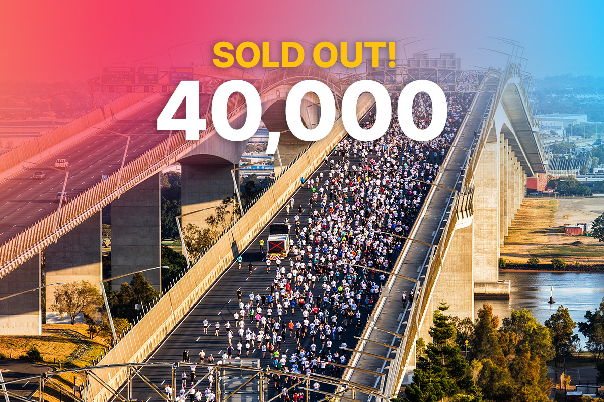
Looking to beat your last Bridge to Brisbane time? Visit the Brisbane City Council website for inspiration on parks, running routes, hiking trails and training locations across the city.
Whether you’re searching for flat riverside paths, challenging hill climbs or scenic trail runs, there are plenty of options to help you reach your goals. From beginner joggers to seasoned runners, Brisbane offers something for every pace and fitness level.